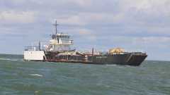
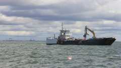
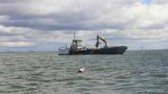
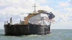
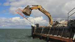
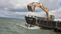
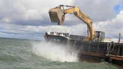
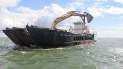
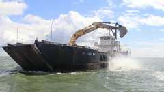
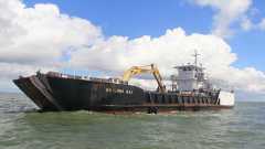
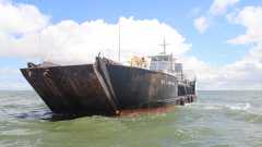
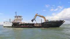
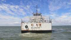
FH-10 Deployment - September 18, 2012© Photos Posted by Mark Miller © Hi-Res Source
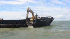
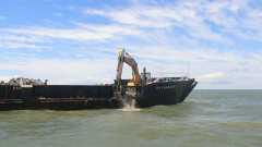
This was deployment of the CableOne Antennae Tower and miscellaneous Rubble in FH-10 near the Horn Island Middle Ground.
This is about mid-way down Horn Island on the North Side a little more than a mile off the shoreline.
The Material was deployed between 2 existing buoys the GCRL had in place for fish tag monitoring. The GCRL1 Buoy was near the Southeast corner of FH-10 at
30°15.858'N 88°38.938'W. The GCRL2 Buoy was to the Northwest at 30°15.928'N 88°38.971'W. Water depth was about 16 feet. See the MGFB website for more information.
|